
Leica Infinity is geospatial office software to manage, process, combine, analyse and quality-check all field survey data.
Vendor
Hexagon
Company Website


Overview
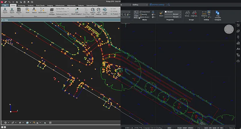
Leica Infinity is a comprehensive geospatial office software suite developed by Leica Geosystems to streamline the management, processing, and analysis of geospatial data. Designed for professionals in surveying and construction, it offers an intuitive interface that facilitates efficient workflows from field data collection to office processing. Infinity supports a wide array of measurement instruments, including total stations, GNSS receivers, digital levels, UAVs, and laser scanners, ensuring seamless integration across various data sources. The software enables users to import, process, and visualize survey data in both 2D and 3D formats, ensuring accuracy and enhancing project efficiency. Additionally, it integrates with other Leica Geosystems products and supports data exchange with CAD, GIS, and BIM applications, promoting collaboration and data consistency throughout the project lifecycle.
Features and Capabilities
- Data Management and Integration: Efficiently manage and process data from multiple sources, including total stations, GNSS receivers, digital levels, UAVs, and laser scanners. Seamlessly integrate with other Leica Geosystems products and external services.
- Data Processing and Analysis: Process and analyze geospatial data to create digital terrain models, perform road design, and calculate volumes. Utilize tools for creating unified point clouds and adjusting survey networks.
- Visualization: Visualize data in both 2D and 3D formats to verify measurement accuracy and gain insights into project details. Employ 3D visualization for comprehensive project overviews.
- Data Export and Reporting: Export processed data directly to CAD, GIS, and BIM applications. Generate detailed reports and deliverables to support project documentation and decision-making.
- Quality Control: Implement quality control measures to ensure the accuracy and reliability of measurement data. Manage and control the quality of all measurement data in the field.
- Cloud Connectivity: Utilize cloud connectivity for seamless data exchange between fieldwork and office teams, ensuring access to the most up-to-date information.
- User-Friendly Interface: Benefit from an intuitive and easy-to-use interface that enhances user experience and productivity.
- Industry-Specific Tools: Access industry-specific tools and connect to a range of services to augment, contextualize, and share data.
- Data Verification: Verify the accuracy of measurements before incorporating them into larger projects, ensuring data integrity.
- Support for Multiple File Formats: Handle various file types, including BIM, CAD, and GIS, facilitating efficient data transfer and collaboration.
- Advanced Surveying Tools: Utilize advanced surveying tools for tasks such as stakeout, network adjustment, and volume calculation.
- Comprehensive Reporting: Generate comprehensive reports to document project progress and outcomes.
- Data Archiving: Archive data securely for future reference and compliance purposes.
- Customization: Customize workflows and settings to align with specific project requirements and preferences.
- Collaboration: Enhance collaboration among team members by providing a centralized platform for data access and sharing.
- Scalability: Scale the software to accommodate projects of varying sizes and complexities.
- Security: Ensure data security through robust access controls and data protection measures.
- Support for Multiple Languages: Access the software in multiple languages to accommodate diverse user bases.
- Regular Updates: Receive regular software updates to access new features and improvements.
- Training and Support: Benefit from comprehensive training resources and customer support to maximize software utilization.