
Emlid FlowAvirtech
Mobile app for GNSS data collection and survey workflows with real-time corrections and cloud sync.
Vendor
Avirtech
Company Website
Product details
Emlid Flow is a professional mobile application designed for GNSS data collection and survey workflows. It enables users to manage projects, collect points, and stake out with ease. The app supports real-time corrections via NTRIP and integrates seamlessly with Emlid receivers for precise positioning. With cloud synchronization, projects and data remain accessible across devices, ensuring flexibility and efficiency in field operations.
Features
- Intuitive Interface: Simple and user-friendly design for efficient surveying tasks.
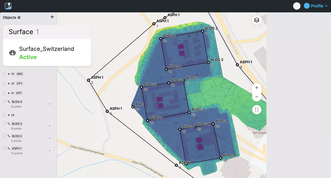
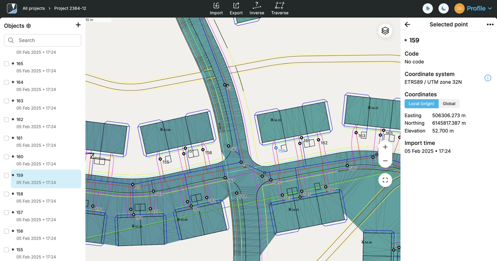
- Point Collection & Stakeout: Collect and stake out points with high accuracy using GNSS technology.
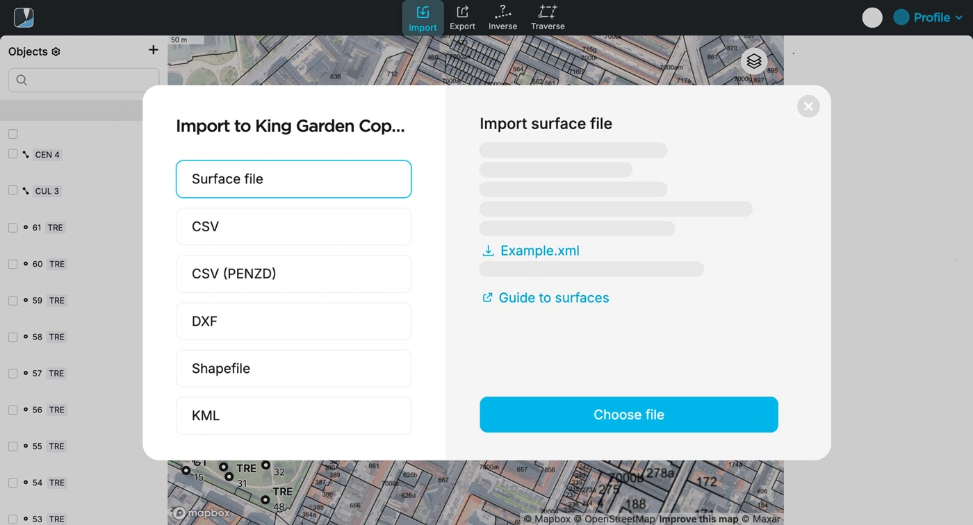
- NTRIP Support: Connect to any NTRIP service for real-time corrections.
- Coordinate Systems: Extensive library of global coordinate systems and transformations.
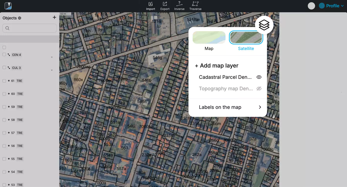
- Cloud Sync: Automatic synchronization of projects and data between devices.
- Offline Functionality: Work without internet access and sync later when online.
- Integration with Emlid Receivers: Optimized for Emlid Reach RS2+, RS3, and other GNSS devices.
Benefits
- High Accuracy: Achieve centimeter-level precision for surveying and mapping tasks.
- Efficiency: Streamlined workflows reduce time spent in the field.
- Flexibility: Access projects from multiple devices with cloud sync.
- Reliability: Offline capabilities ensure uninterrupted work in remote areas.
- Compatibility: Works with Emlid hardware and supports third-party NTRIP services.
Find more products by industry
UtilitiesAgriculture & FishingTransport & StorageProfessional ServicesConstructionInformation & CommunicationView all