
Emlid Flow 360Avirtech
Instantly sync between field and office. Prepare, export, and manage your survey data from any web browser.
Vendor
Avirtech
Company Website
Product details
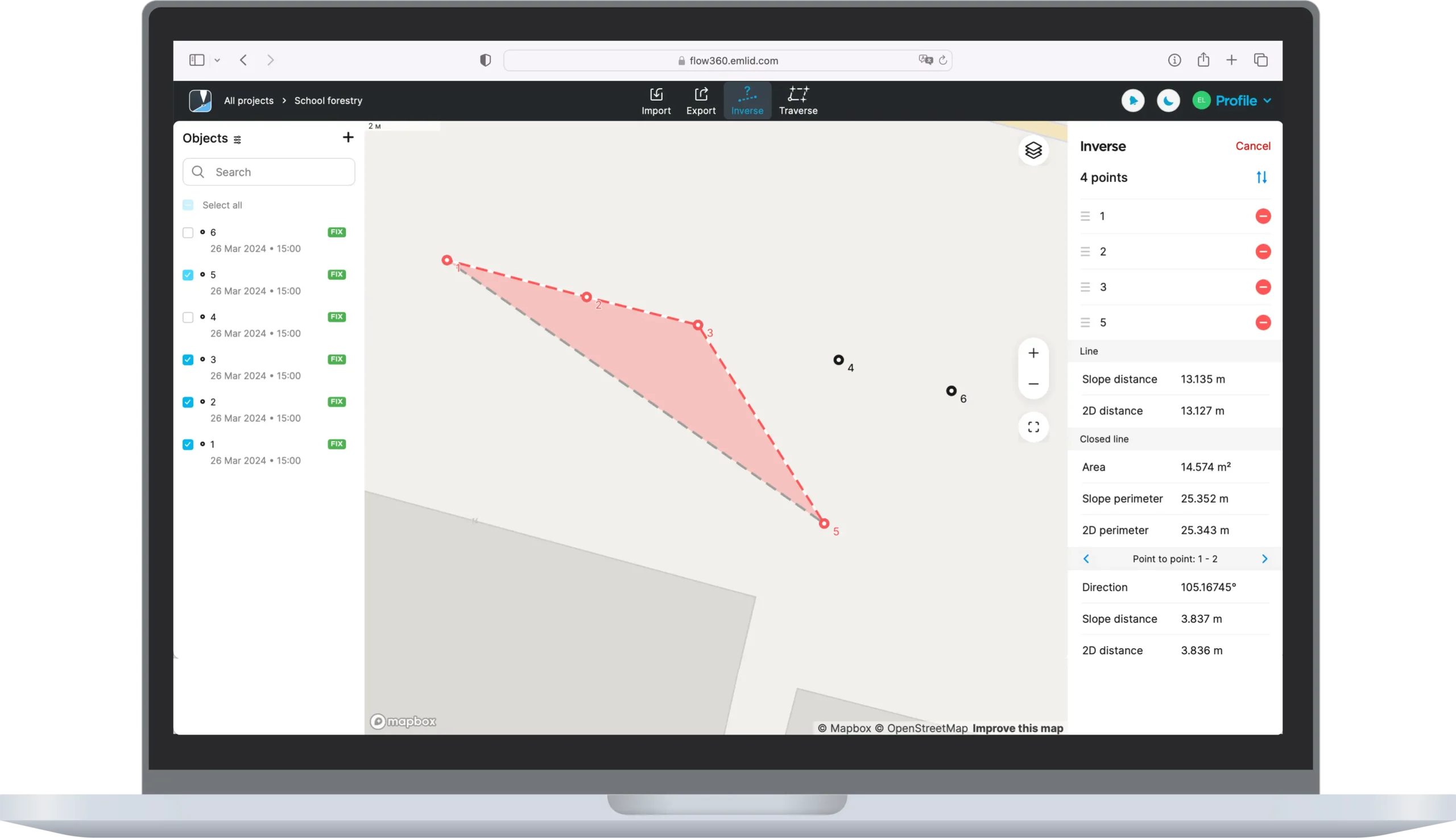
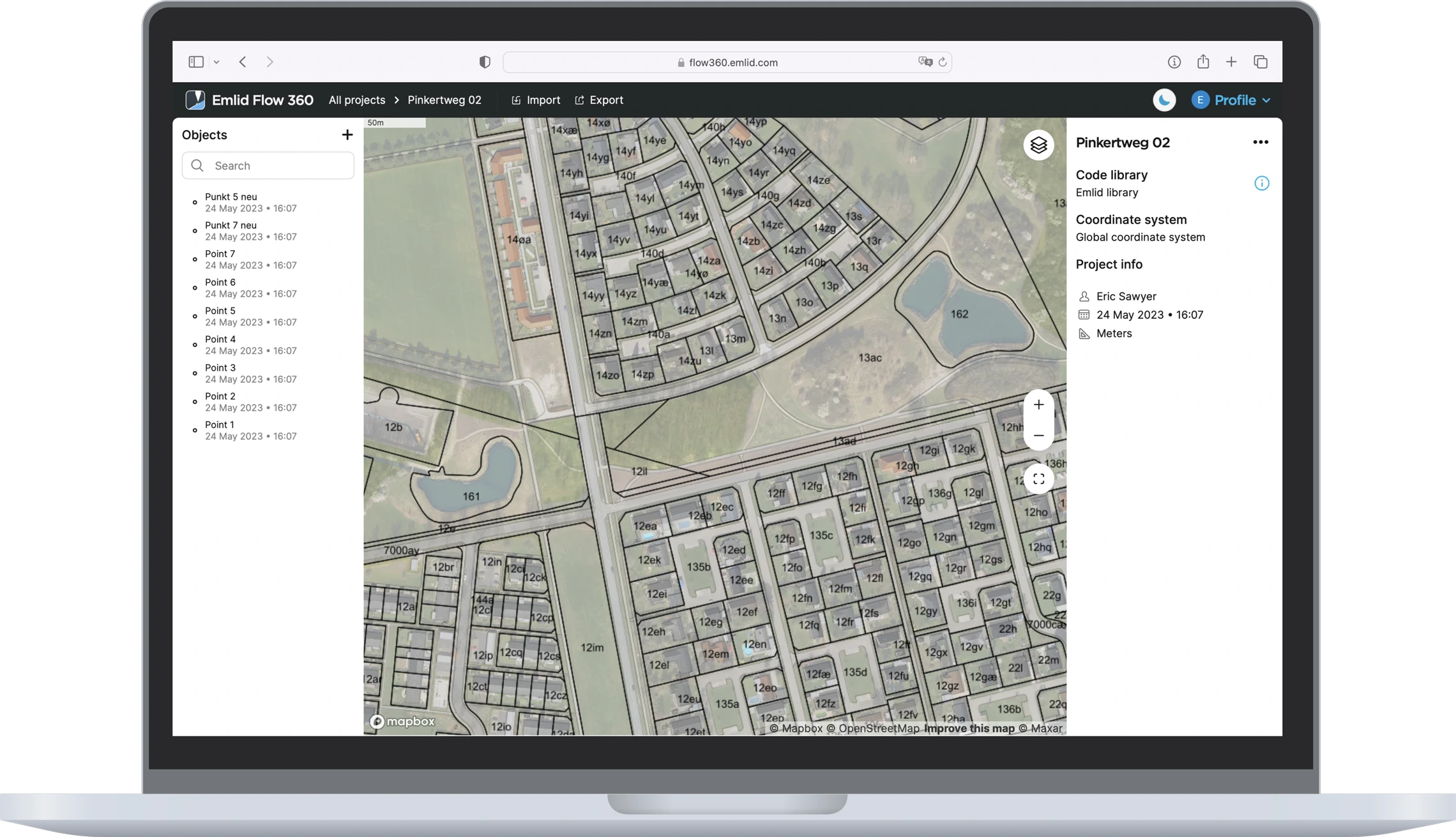
Emlid Flow 360 is a web-based platform designed to complement the Emlid Flow mobile app, providing a centralized hub for managing GNSS survey projects and data. It enables users to create, edit, and organize projects from any browser, ensuring smooth collaboration and data accessibility. With Flow 360, surveyors can synchronize field data collected via Emlid Flow, manage coordinate systems, and export results in multiple formats. This solution enhances productivity by bridging field and office workflows.
Features
- Cloud-Based Project Management: Access and manage survey projects from any device with a web browser.
- Data Synchronization: Automatic sync with Emlid Flow mobile app for real-time updates.
- Coordinate System Management: Configure and apply global coordinate systems and transformations.
- Data Editing: Modify point attributes and organize datasets directly in the platform.
- Export Options: Export data in popular formats like CSV, DXF, and Shapefile for GIS and CAD applications.
- User-Friendly Interface: Intuitive design for easy navigation and efficient workflow management.
Benefits
- Accessibility: Work from anywhere with cloud-based tools.
- Efficiency: Streamlined data handling reduces time spent on manual transfers.
- Collaboration: Share projects and updates across teams effortlessly.
- Accuracy: Maintain consistent coordinate systems and transformations across projects.
- Integration: Seamless connection with Emlid Flow app and Emlid GNSS receivers.
Find more products by industry
UtilitiesAgriculture & FishingTransport & StorageProfessional ServicesConstructionInformation & CommunicationView all