
Transform your geospatial project with high-resolution aerial imagery that enables you to make better-informed decisions.
Vendor
Hexagon
Company Website


Overview
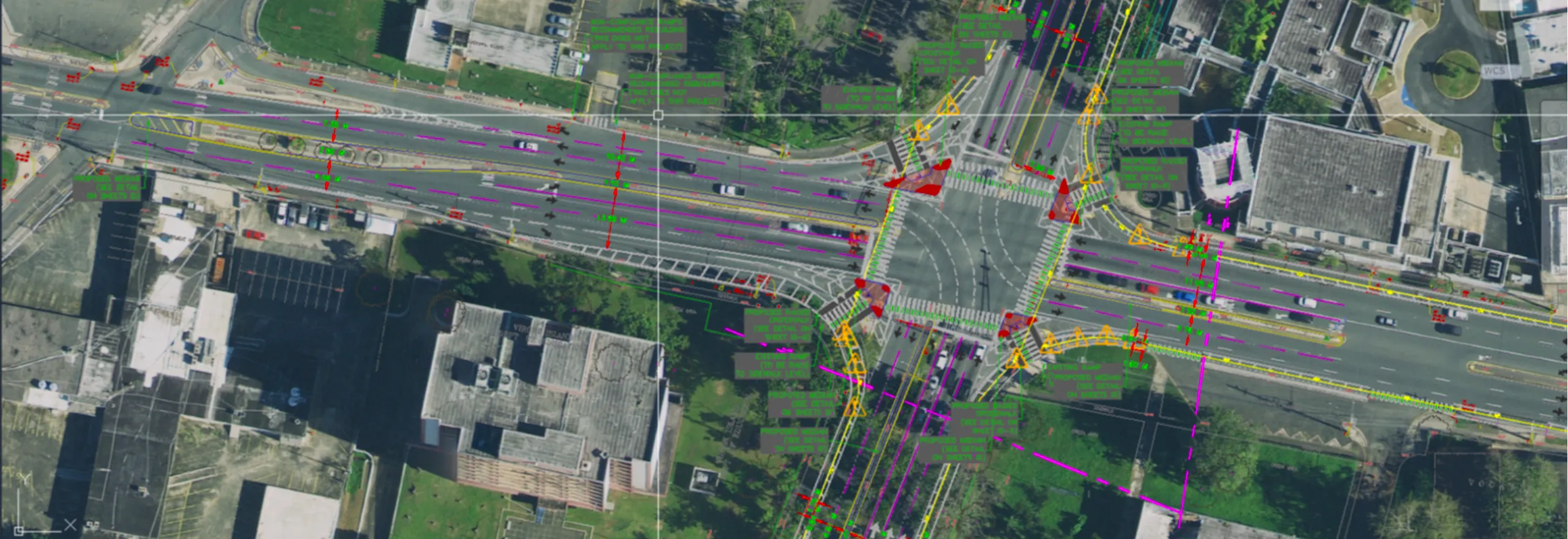
Hexagon's Aerial Imagery provides high-resolution, accurate, and detailed views of urban and rural areas, enhancing geospatial projects with precise visual data. This imagery includes orthoimages, oblique, and stereo imagery, offering comprehensive coverage for various applications. Captured entirely by aircraft during optimal conditions, the data minimizes clouds, shadows, and other effects that can obscure information. The standard aerial orthophotos are available at 15 cm and 30 cm resolutions in the United States and between 12.5 cm to 30 cm resolution across Europe. This ensures that users have access to high-quality imagery suitable for a wide range of applications.
Features and Capabilities
- High-Resolution Imagery: Offers detailed views with resolutions up to 15 cm in the United States and between 12.5 cm to 30 cm in Europe, ensuring precise data for analysis.
- Comprehensive Coverage: Provides extensive coverage across urban and rural areas, facilitating nationwide and regional projects.
- Optimal Capture Conditions: Imagery is captured during optimal conditions to minimize clouds, shadows, and other effects that can obscure information.
- Multispectral Orthophotos: Access to high-quality orthophotos in true color (RGB) and color-infrared (CIR), supporting advanced analytics and feature extraction.
- Seamless Integration: Designed for easy integration into GIS and enterprise applications, enhancing workflow efficiency.
- Consistent Data: Ensures consistent and artifact-free coverage, supporting reliable analysis and decision-making.
- Flexible Access: Offers data through streaming and download options, providing flexibility to meet various project needs.
- High Accuracy: Utilizes stringent quality control methods to ensure high positional accuracy, supporting precise geospatial analysis.
- Timely Updates: Regularly updated imagery ensures that users have access to current data for accurate analysis.
- Global Reach: Provides coverage across North America and Europe, supporting a wide range of projects in these regions.